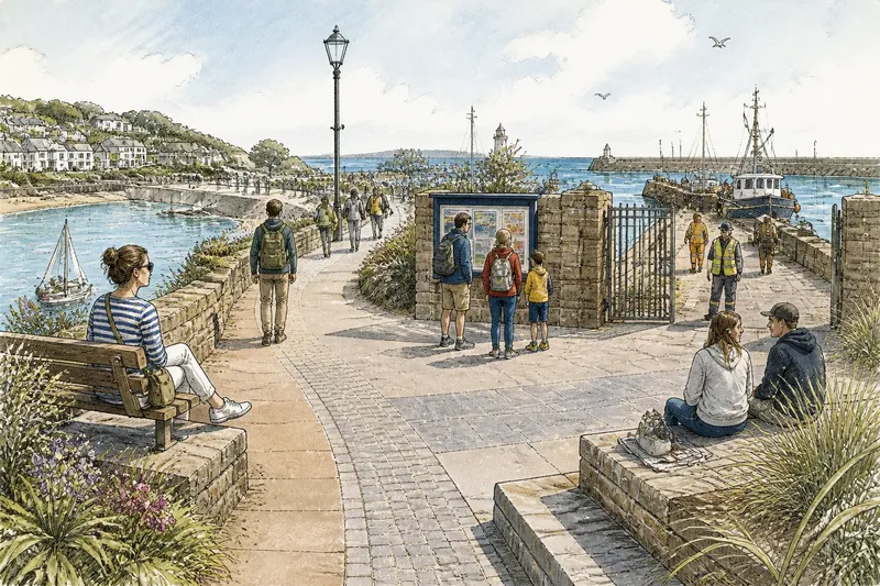
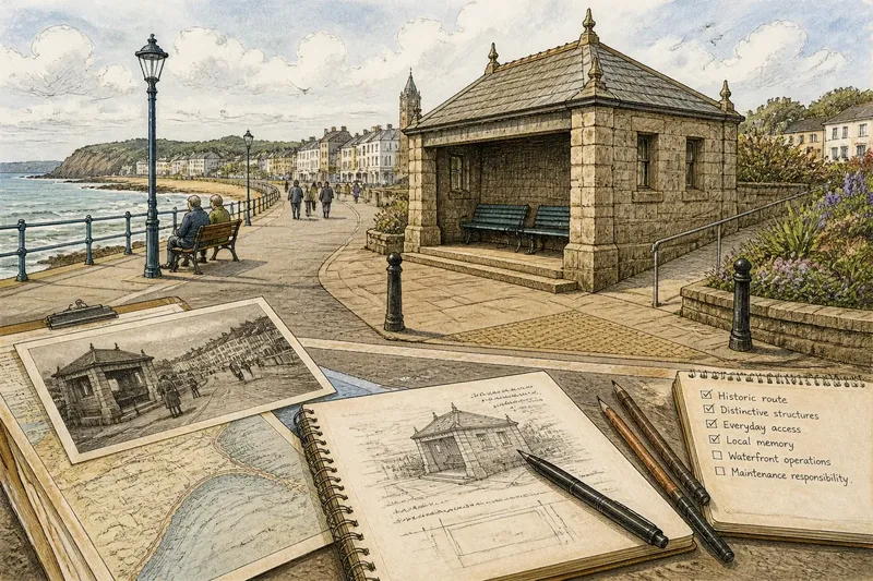
A Slow Walk Along a Harbour Edge
A slow walk along a harbour edge reveals how public paths, working routines and places to pause meet, so you can explore with care and purpose.
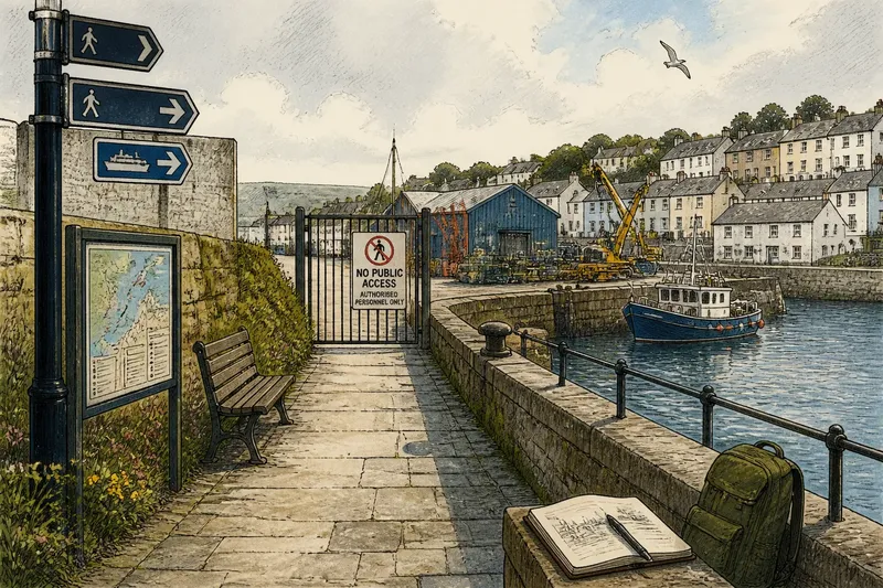
Where can you walk beside a harbour without getting in the way? A slow walk along a harbour edge is easiest to plan around a public route and a clear turning point, leaving the working parts of the harbour to the people who use them.
Choose a stretch with a signed public path or clearly open waterfront, and check local access notices before leaving. A harbour can place a public quay beside a private yard or active landing; seeing the water does not make every route public.
Choose a route
Use a local map to pick a starting point, a public route and a place to turn back. Fences, gates and working entrances can divide an edge that looks continuous on a map, so let signs on the ground settle any doubt.
Bring a small notebook or use brief notes on your phone. Record features and changes rather than people: “the path bends beside the quay wall” is both useful and considerate.
- Check for signs about public access, closures and authorised users; if the route is clearly open, follow it, and if access is restricted or unclear, choose another signed path.
- Look at the path surface; if it is uneven or damp, wear suitable footwear, and if conditions seem unsafe, turn back or use a different route.
- Notice whether the path narrows at entrances; if there is room to pass without stopping, continue at an ordinary pace, and if not, move to a wider public area before pausing.
- Identify a signed turning point; if the public route ends there, return the way you came, and if it continues clearly, stay on the marked route.
- Consider whether a camera or binoculars might draw attention to people on duty; if so, leave them packed away, and if you take photographs, frame public features rather than workers or private areas.
- Check whether a public map or sign identifies the approach; if it does, use that route, and if it does not, ask the relevant authority for access information rather than testing a gate.
Walk slowly enough to notice changes underfoot and around you. The most useful point may be where the character of the route changes, not where the view opens widest.
Read the harbour edge
Begin on the public approach, before boats, sheds and equipment make the scene busy. Notice whether people arrive from nearby streets, a car park, a ferry stop or another waterside path; you need not count them. Ask what the route seems designed to support: crossing, strolling, reaching a landing or stopping briefly.
Look for features that explain the space. A footpath sign, quay name, marked loading area or change from pavement to apron can clarify how visitors are expected to move. Note where the public route is easy to follow and where its direction becomes uncertain.
The surface can tell you how a stretch is used. A broad paved quay, a narrow lane beside sheds and a fenced slipway offer different conditions for walking and stopping. Describe what is there before judging whether it works well.
Keep your movement predictable. If someone is carrying equipment, pushing a trolley or guiding a group, give them room and avoid waiting in a doorway or across an entrance.
Notice changing rhythms
A harbour’s character shifts with sound, movement and the water’s edge. Engines, reversing alarms or equipment clatter may mark a change in activity, but they are reasons to stay on the public route, not to move closer.
Notice what changes as you walk: a view screened by a shed, a path that turns towards the water, or a public space that opens beside a landing. These details help explain how the harbour connects work, travel and everyday visiting without requiring you to observe anyone closely.
Imagine you begin at a signed public path beside a quay and plan to reach a bench shown on the local map. At a gate, you see a notice restricting access beyond it, so you turn back to the last public junction and follow a signed waterside route to a second public seating area. Your result is a shorter walk than planned, but a clear route and a useful note: the mapped bench is beyond a restricted entrance, while the alternative is accessible from the public path.
Harbour walk timing?
When is a good time to walk?
Choose a time when you can walk without rushing, but do not assume a quiet-looking harbour is inactive. If a public route is busy or a gate is operating, follow signs, give way and return later if the path is obstructed.
What should I notice first?
Start with the route’s character: its surface, signs and connection to streets or landing points. Then notice where the path changes direction or provides a place to pause.
Can I stop to take photographs?
Pause only where you will not narrow the path or draw attention towards restricted activity. Choose public features such as a quay wall or path junction, and avoid recording people at work or private areas.
What if the route ends unexpectedly?
Return to the last point where public access was clear. Do not cross a barrier, follow an operational lane or treat an open gate as permission to enter.
Find a public pause
Look for places where you can stop without interrupting movement: a bench set back from the path, a broad public wall or a marked viewing area. A narrow stretch beside a gate may not be suitable, even if it offers a better view.
Notice what the location allows without guessing why anyone is there. A seat facing the water might support watching boats; a sheltered spot near a landing may suit people waiting for a passenger. The layout can suggest possible uses without telling you what a particular person intends.
From the public route, check whether there is a clear approach and room for others to pass. If a fence or equipment blocks the view, or a sign asks visitors to keep moving, respect that information and choose another place.
Take your own break where you are not in the way. If no suitable spot appears, continue or return to a public seating area. The harbour already has enough people trying to get somewhere.
Compare the return
Turn back at your chosen point, or sooner if access becomes unclear. On the return, notice whether a sign, bend or boundary was harder to read from the other direction; the same route can communicate differently on the way back.
Look at how the harbour connects to its surroundings. Does the public path lead towards a street, ferry landing, public square or another waterside route? Those links shape whether the edge is part of everyday movement or an isolated destination.
Leave waiting areas and gathering places usable. Avoid photographing faces, asking workers to explain their tasks or standing where others need to pass. A visitor can learn a great deal without making the harbour’s users part of the display.
Before leaving, note one clear transition and one confusing one. “The footpath sign disappears after the quay bend” gives a specific point to check; “the harbour felt unwelcoming” does not.
Use your observations
Review your notes while the route is fresh, separating what you saw from what you inferred. “A barrier stood beside the entrance” is an observation; “walkers are unwelcome” is a conclusion the barrier alone cannot support.
If access was confusing, consult a council access map or the harbour authority’s public information before drawing conclusions. For closures or access rules, follow posted notices and guidance from the relevant authority.
If you report an issue with a public path, unclear wayfinding or a stopping place that obstructs movement, describe its location and condition. “The footpath sign is difficult to see from the approach” gives someone a specific point to check without assigning motives.
A slow walk along a harbour edge works best when it leaves work undisturbed and public routes clear. Keep to signed access, make notes about places rather than people, and let a confusing boundary be a reason to turn back rather than a puzzle to solve by crossing it.